I have started to use a mapping tool called, QGIS.
This is an excellent, open source, Geographic Information System (GIS). In its simplest form, it is used to create maps.
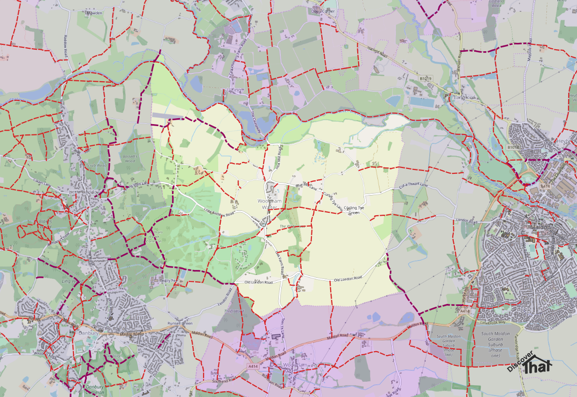
I am creating an up to date, digital version, of the map of our village showing all the public rights of way.

I'm using, as the base layer, the open source map from https://www.openstreetmap.org. The link to this is built in to the current version 3.8 of QGIS.
The Problem with the Cache
As I've been going along, I've been updating the Open Street Map site with changes. For example, re-routing paths, removing the former shop and changing the phone box in to a defibrillator.
That was the problem. I made the changes, and they appeared online shortly after, but the old images remained on my base layer in QGIS!

It took me ages to trawl through the menus and options until I eventually found the 'Delete Cache' button. It's under, Settings -> Options... -> Network
There's a section for the cache. It's obvious when you know how but searching, on Google and the QGIS help pages, for 'QGIS clear cache' found nothing.
Before I found the button I managed to find the folder and deleted that. It worked, so the map refreshed, and the empty folder is recreated automatically next time you open QGIS. After having used that work round, I managed to find the built in button.
Data Sources
I have found lots of good sources for UK map data, that are free to use. I would like to recognise and thank those providers.
The following offer data that is freely available to download and under licenses that permit their use in most projects:
I have also found other data sources, also released under suitable licenses, that have been useful:
- https://www.whatdotheyknow.com/request/public_rights_of_way_gis_data_an_8
- https://www.rowmaps.com
- https://www.essexhighways.org/Getting-Around/public-rights-of-way/the-definitive-map.aspx
==
No comments :
Post a Comment